
The radio site’s horizon plot (created using AirScout, (c) DL2ALH, with SRTM3 data) looks like this:

Horizon plot at IO51vw
Some observations:
- There is a sea path visible from 90˚ round to 195˚
- The peak 100km to the west (273˚) is Ireland’s highest mountain, Carrauntoohil, at 1038m high.
- In general, the site’s view to the north-west is much better than indicated – this is the plot for the 2m aerial position which is slightly down the east side of the hill!
Standing below the antenna, the easterly visual horizon looks like this:

Easterly horizon from IO51vw
and to the south:
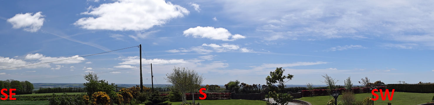
Southerly horizon from IO51vw
Mark, I can set up an activity from JO78FM. A clubstation with single long yagi and QRO.
When can you be QRV?
//Ronny SM7FWZ
Thanks for activating a new square Ronny, and the QSO 🙂
Really good site for VHF !!
Congrats
73 de IK0BZY Enrico